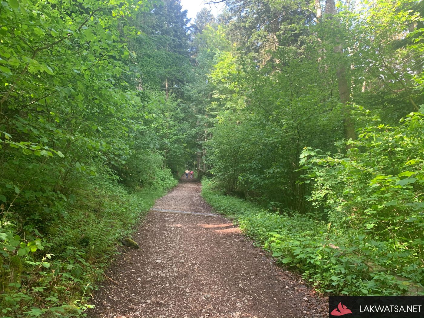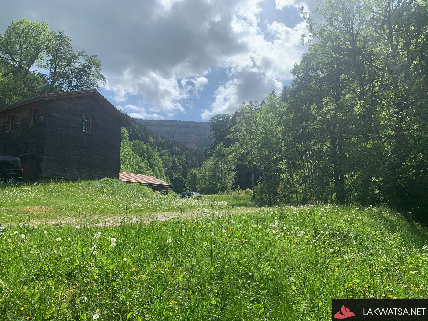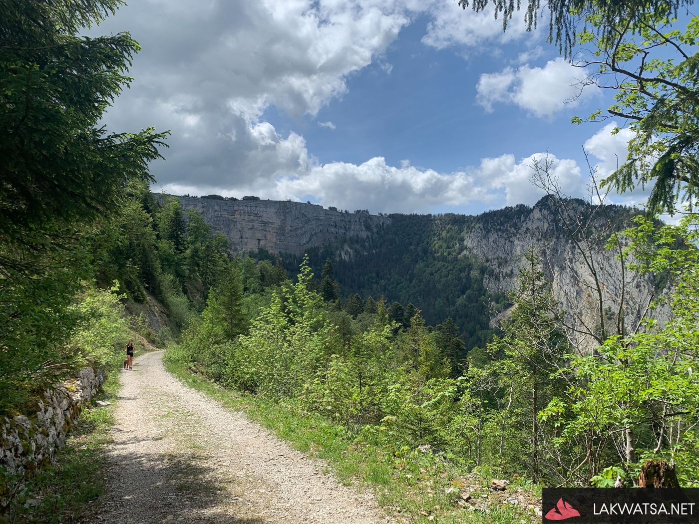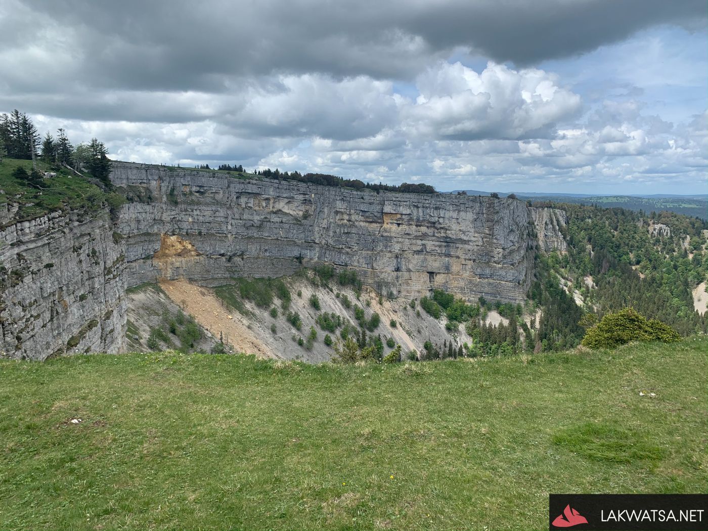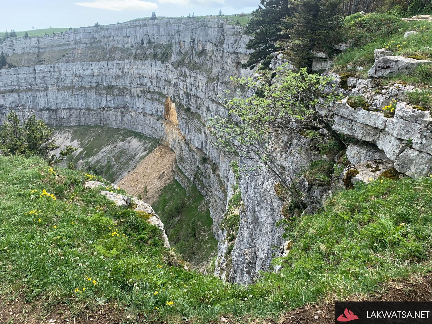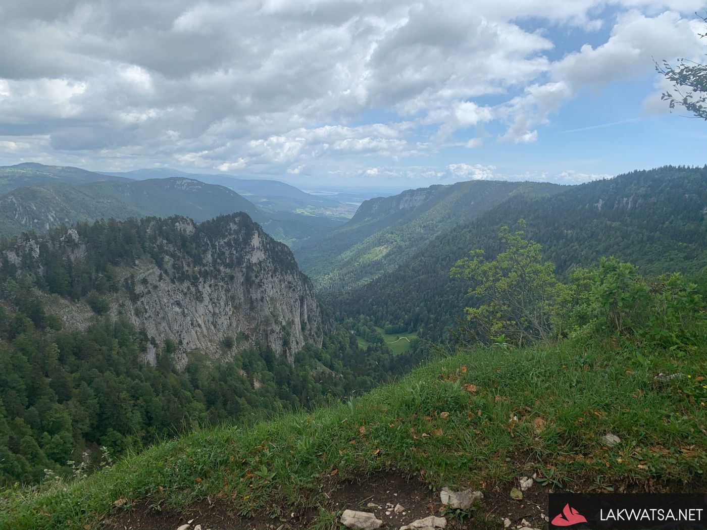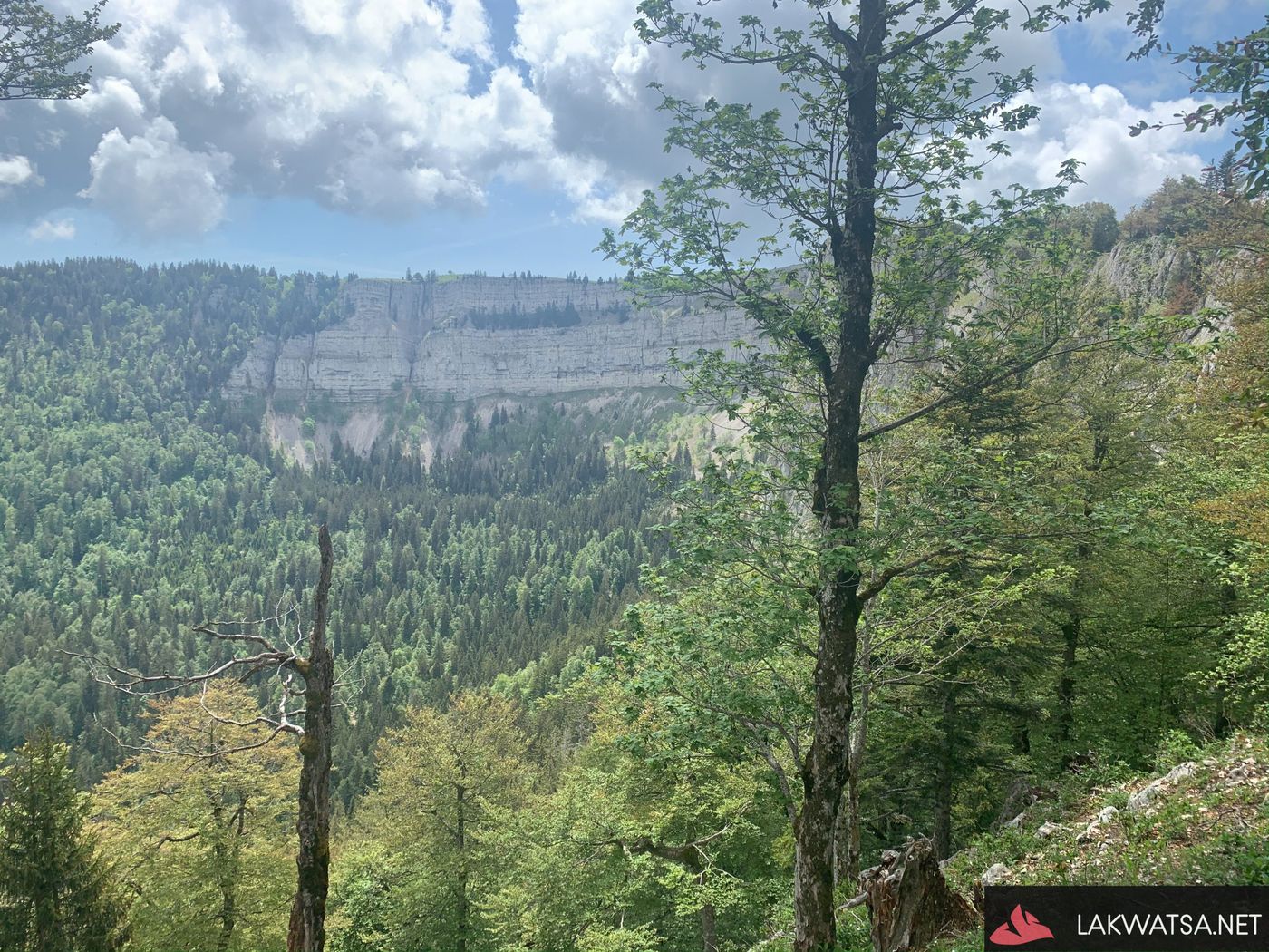
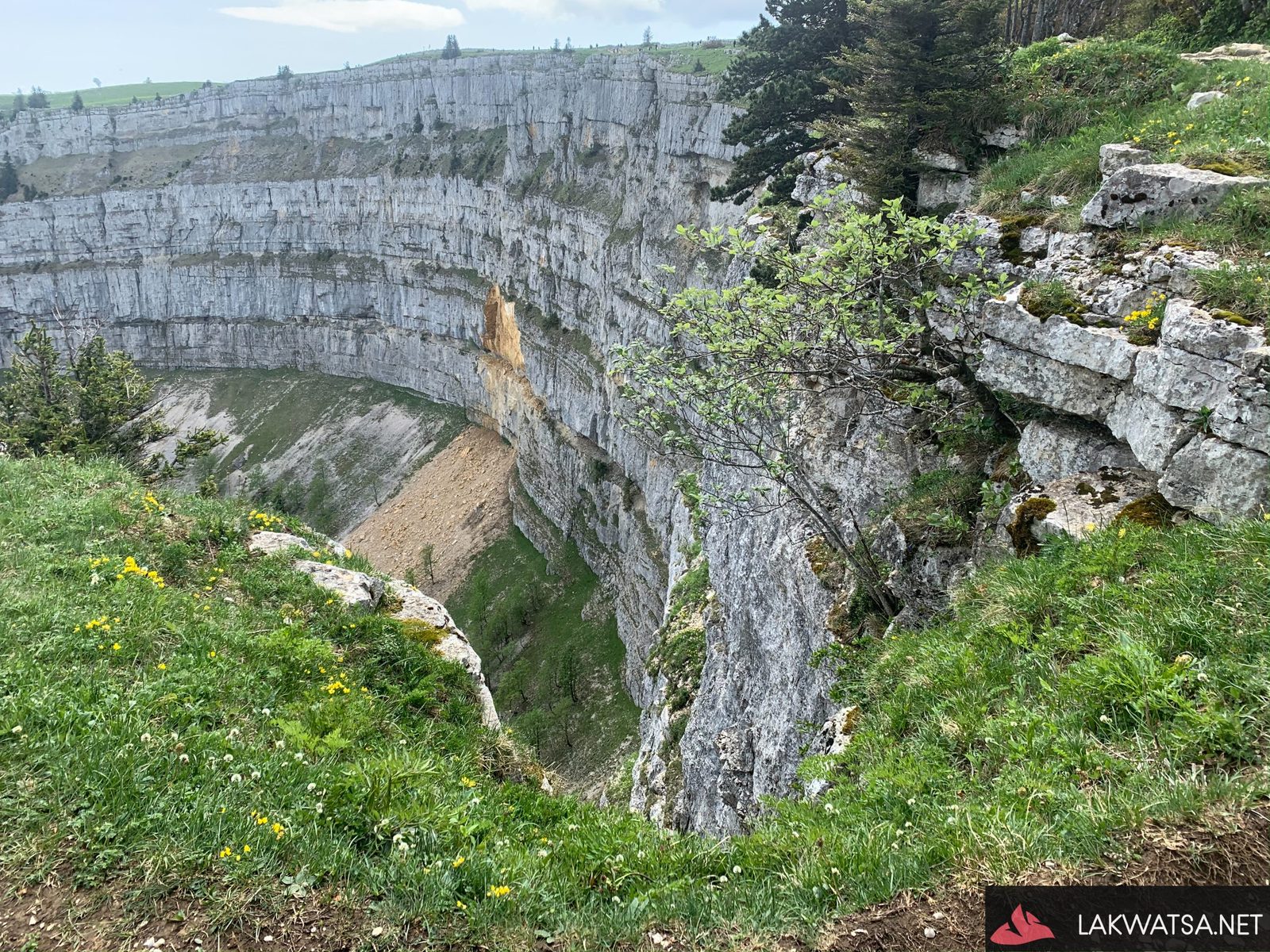
Among the most famous Hike paths in Switzerland is the “Sentier des 14 contours,” which starts from Noirague and follows the contour of the Creux-du-Van towards Soliat farm. The Creux-du-Van is a rocky cirque which is 1400 meters long and 200 meters in height. A cirque is formed through Glacial erosion and has a shape like an amphitheater. Walking along the edge of the cliff, one can’t help thinking of being in a green-tinted grand canyon. There are some Ibex roaming around this reserve, their ability to climb steep places can be quite a spectacle.
How to get there
The Hike that we did start and ends from Noirague passing by the contours of the Creux-du-Van onwards to the Soliat Farm. Noirague is situated Southwest of Neuchâtel. It takes around 2 hours to get there from Geneva by train or by car.
Hike path and Fitness level
I would categorize this Hike as T2 according to the Swiss Hiking scale, and it could take anywhere between 4-5 hours to complete it. I suggest taking the steep part of the trail first going to Creux-du-Van as this is easier to manage in the ascent: as per the path taken on the youtube video. It’s best to have a good fitness level to enjoy this hike; otherwise, one can always go slowly. Bear in mind that there are a lot of people on this trail; understandably, they closed this path during the Corona crisis containment because it is hard to keep a distance from the other people on this trail.
Creux-du-Van: where to eat?
There are a lot of places to go for a picnic on the contours of Creux-du-Van, but there are 2 establishments that sell food along the path. One is “Les Oeillons” which is casual, and the other one is called Restaurant le Soliat. Le Soliat can be reached by car, and is not too far from Crux-du-Van,-
Creux-du-Van Gallery