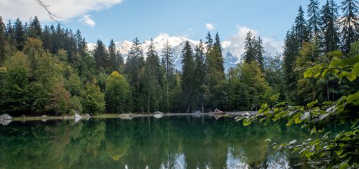
Hiking in Switzerland: Bisse d’Ayent and Barrage de Tzeuzier
The Bisses of Valais were mostly created in the 16th century. People from the valley tried to irrigate the lands below with the numerous cascades coming from the steep mountains. The inclination they’ve used for this irrigation is around one percent, and it is impressive to see the trouble they have had to go through setting this up on cliff sides!
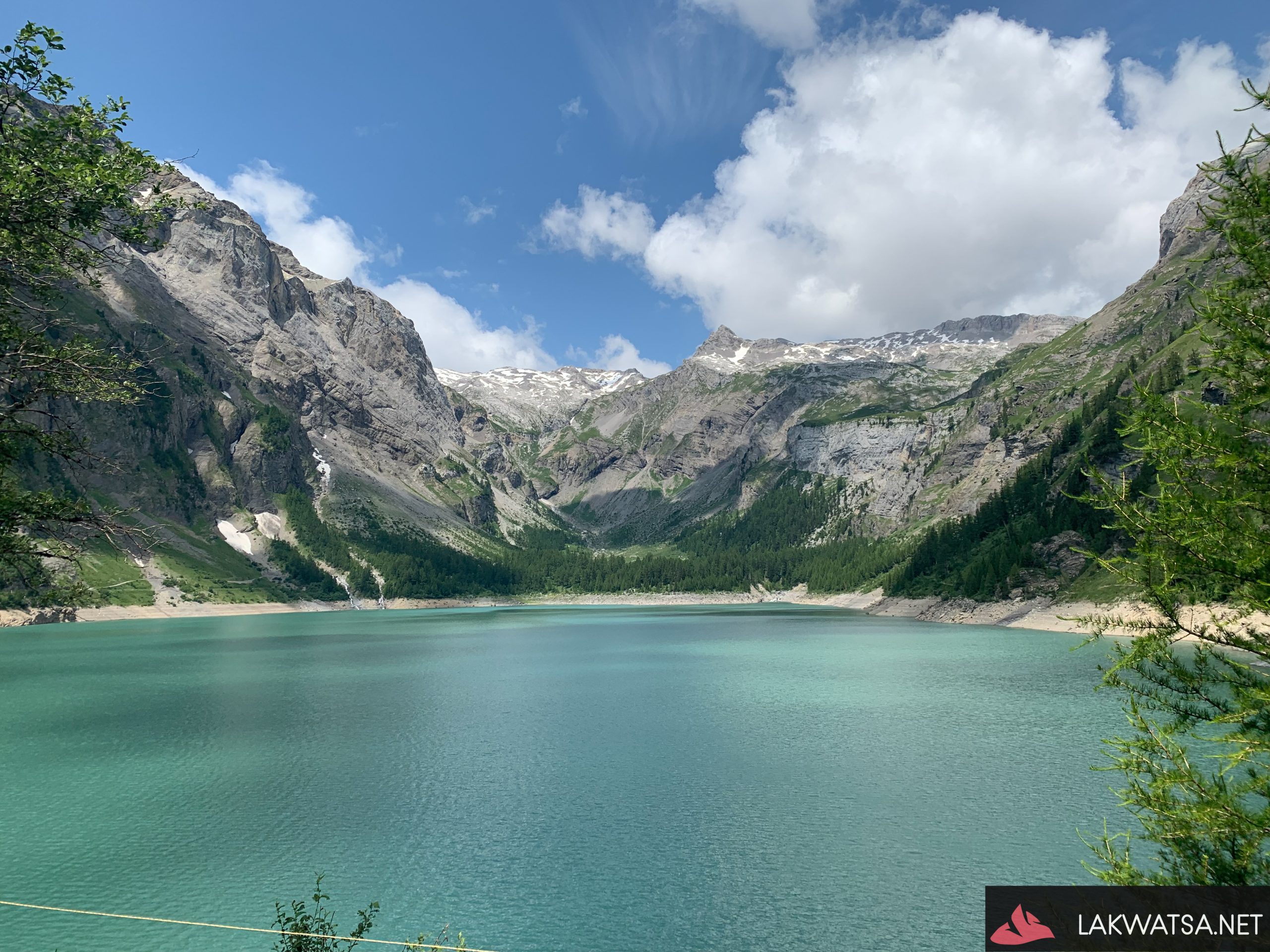
This hike can start uphill from Mayens d’Arbaz towards Barrage du Zeuzier, or you can start from the other way around. We started from Barrage de Tzeuzier, and that is where most of my pictures were taken as the Tzeuzier barrage is very scenic.
The walk from Barrage de Tzeuzier to Mayens d’Arbaz takes around 3-4 hours. You will start on the exposed side of the trail, which is not recommended for people afraid of height for half of the trail. I have fewer pictures of Bisse d’Ayent, as I was a bit more concerned for my fear of heights on this segment. Here is a link to a video of the exposed side of Bisse d’Ayent, to get the idea of that hike.
Also, note that there are barely busses serving this place, and on Ayent roads are either one way going up or going down depending on the hour. Some planning is needed if you do not want to hitchhike or stay till late at night at Mayens d’Arbaz. We almost got stuck there!


Download the the KMZ and GPX file.